5 Wednesday
The plan for today after much discussion was to drive to Ridgecrest at
the south of the China Lake Naval Weapons Center where we could then decide
whether to go across Death Valley or go back through Barstow to Los Vegas.
Sally was still quite nervous at the thought of driving in Death Valley
in what was obviously turning out to be very hot conditions, so we wanted
to leave the decision until the last possible moment. We left Visalia
and turned south down highway 99, stopping at a rest stop just short of
Bakersfield. A bit further on, at Bakersfield, we saw from the highway
quite a few oilfield pumping stations and later found out from the Lonely
Planet that Bakersfield is quite an important oil town and played a significant
part in the development of USA's domestic oil fields. We joined highway
58 at Bakersfield and then drove through very dry, brown rolling hills
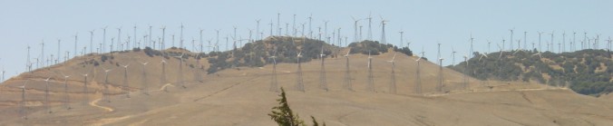
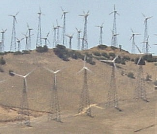
to the start of the Mojave Desert at the town of Mojave. We saw hundreds
of wind powered turbines along the ridge of the Tehachapi Mountains and
when we got to Mojave we could see many more on the Mojave desert side
of the mountains.
 Reading
about this later I realised that the pass we had driven through is a natural
wind tunnel being shaped by the adjacent ranges and is characterised by
a high average wind speed year round, something like the Waiarapa, Wellington,
Cook Strait area in NZ. Coming into Mohave we saw many dozens (maybe up
to a hundred) of airliners (all sizes right up to 747s) all parked on
an airfield. They are moth balled here because in the dry Mohave
desert air they have minimal deterioration and can be stored for many
years. Mohave is quite a small town with a railroad paralleling
the main road. We decided it was lunch time when we spotted Wendys so
we parked, shut down the AC and ran to the air conditioned comfort inside
the restaurant. It was very hot - probably in the low 40s. Decision
time concerning Death Valley and over a cup of tea we decided.
It was go for Death Vally!
Reading
about this later I realised that the pass we had driven through is a natural
wind tunnel being shaped by the adjacent ranges and is characterised by
a high average wind speed year round, something like the Waiarapa, Wellington,
Cook Strait area in NZ. Coming into Mohave we saw many dozens (maybe up
to a hundred) of airliners (all sizes right up to 747s) all parked on
an airfield. They are moth balled here because in the dry Mohave
desert air they have minimal deterioration and can be stored for many
years. Mohave is quite a small town with a railroad paralleling
the main road. We decided it was lunch time when we spotted Wendys so
we parked, shut down the AC and ran to the air conditioned comfort inside
the restaurant. It was very hot - probably in the low 40s. Decision
time concerning Death Valley and over a cup of tea we decided.
It was go for Death Vally!
Yaah!
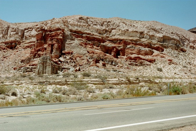
From Mohave we turned north onto highway 14 which runs along the extreme western edge of the desert and adjacent to the foothills where the Serria Nevada range fades at its southern extremity. Past the Red Rock canyon where scenes from Jurassic Park were filmed and then about 20 miles of dead straight road until highway 178 to Ridgecrest.
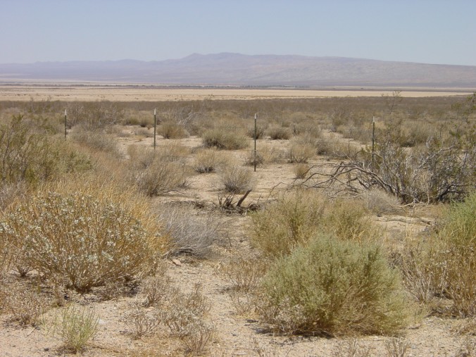
On the right hand side - Mohave Desert
On the left hand side - the Serria Nevada at its southern most part
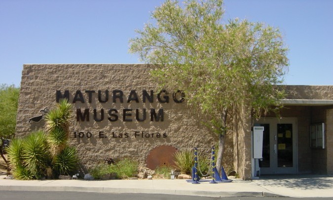
At Ridgecrest, as it turned out, we were perhaps a bit lucky to get a reasonable motel because there were two film crews in town shooting film scenes for some unknown movie. Two motels were full, but the third had rooms, though they were fairly noisy with the air conditioning systems running. The AC system inside the motel room was essential, and we had to run it for most of the night, the temperature outside would have been upper 30s or even low 40s. We visited the Death Valley Information Center in the Maturango Museum which I found very interesting and got lots of information including maps etc. The plan was to leave very early the following morning, maybe 5:30am and make our crossing of the valley before the temperatures became too extreme.
Death Valley Information Center