Thursday 25th
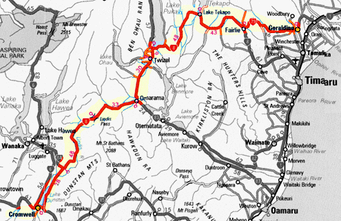
Geraldine – Cromwell
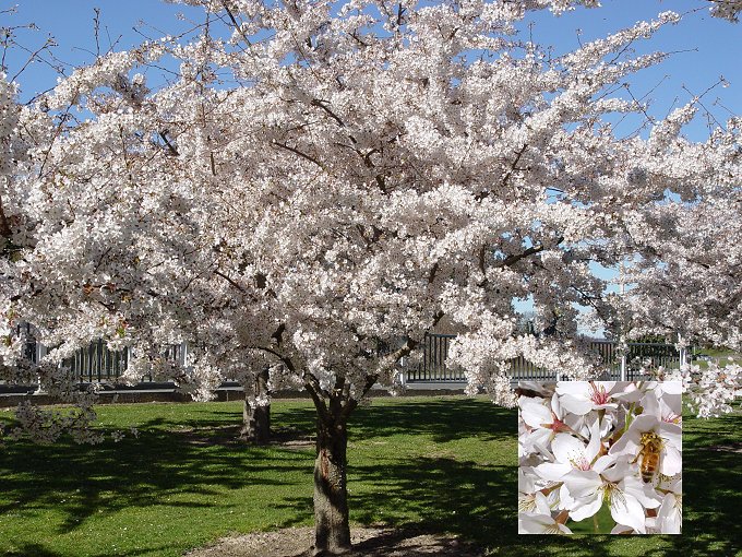
Cherry Tree blossom at Geraldine.
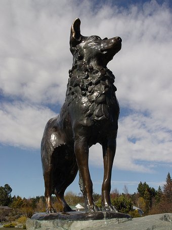
We set out at 8am in fine weather heading south west from Geraldine, into the Canterbury high country on highway 79. At Fairlie we paused for petrol and then turned west on highway 8 to climb up and over Burke Pass and into the Lake Tekapo Basin. Also known as the McKenzie Basin. We stopped for a while at Lake Tekapo and had a cup of tea. Took some photos of the sheep dog monument by the Church of the Good Shepard, a bronze statue created to recognise the district's debt to the sheepdog ‘without the help of which the grazing of the mountainous country would be impossible'.
From Tekapo we turned south, heading through the vast inland basin and dry tussock country toward Lake Pukaki. We are never disappointed when we first glimpse the intense turquoise coloured glacial waters of Lake Pukaki from the highway. From some angles, with the sunlight in the right direction, the effect is as if the waters of the lake have taken on a fluorescent quality.
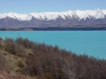
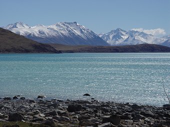
The distinctive lake colorings
as you round a bend in the road. |
From
the foreshore. |

Lake panorama
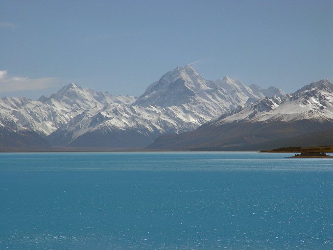
The majestic view up the lake to
Mt Cook
A short distance further on, at Twizel, we bought lunch and ate at a salmon farm beside the Ohau River. And then on to Omarama. Omarama is world famous in gliding circles where the stable atmospheric conditions over the vast inland basins can lead to excellent gliding conditions and several world records for extended flight have been established. Further on along the flat plains and then into the narrow river valley leading up and over Lindis Pass.
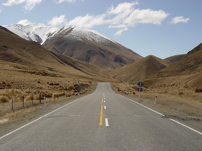
Looking back down the valley from
whence we came
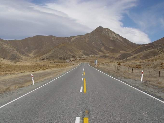
Looking up the highway to Lindis
Pass
After the Lindis Pass the road lead down the winding Lindis Valley to Tarras and then along the Clutha River valley to Lake Dunstan and Cromwell.
After we organised our motel we went walking to the Old Cromwell Town to view the original buildings (and recreated originals) near where the old bridge crossed over the now flooded Clutha Gorge. In the 1970s with the construction of the dam at Clyde for the generation of hydro-electricity, Lake Dunstan was formed, flooding the valleys and the lower part of the original township. Old Cromwell Town is a reconstruction of some of the original buildings to keep the history alive.
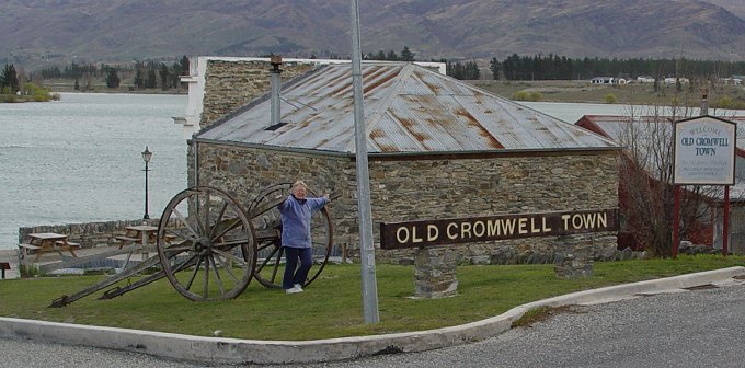
Some of the recreated buildings designed
to attract tourists.
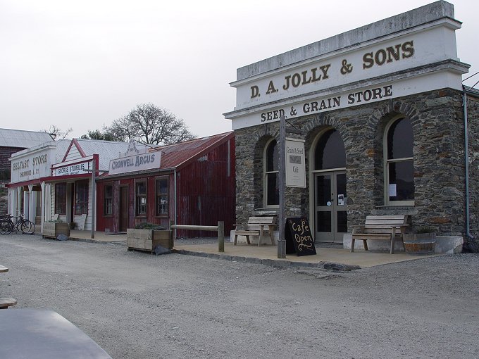
Part of the recreated town. We had excellent coffee in the cafe
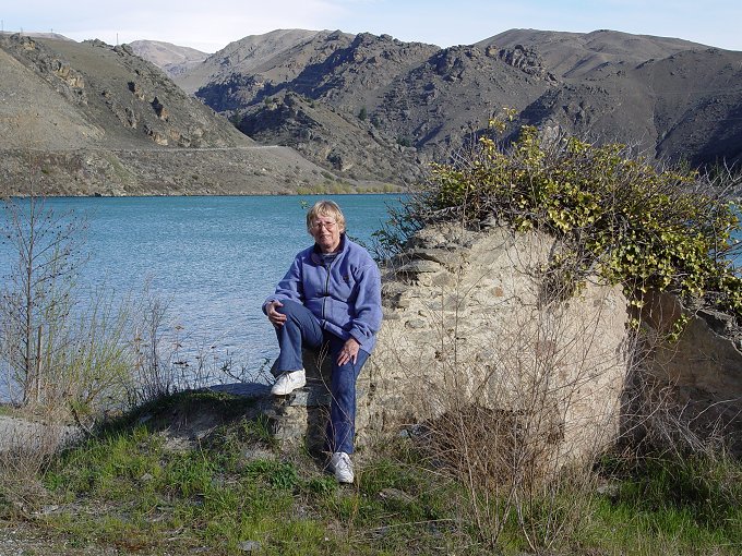
At the ruins of the original schoolhouse
at Cromwell
We decided to stay
2 nights at Cromwell as we had very nice accommodation which overlooked
a quiet golf course and we could make Cromwell a central location
for the tourist and sightseeing spots in the area.