Wednesday 24th
Greymouth – Geraldine via Arthurs Pass
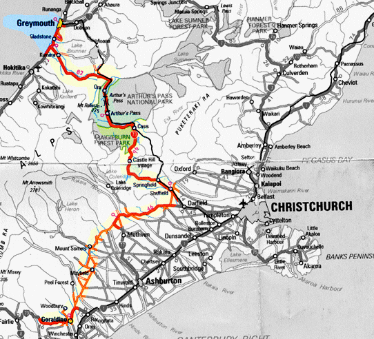
The rain cleared away during the night and, as so often seems to happen, the day dawned calm and clear with the promise of a good days sight seeing. We left Greymouth and after about 15 Kms south along the coast we turned inland up the wide Taramakau River valley which may have been home to a glacier thousands of years ago. After a time we turned south into the Otira river valley and entered Arthurs National Park, lush, green Westland forest. Then quite suddenly we came upon Otira which signalled the start of the really steep part of the road. We had been climbing continuously ever since leaving the coast though the climb was very gradual and hardly noticed until we realised that at Otira we were significantly closer to the snow line. Otira seemed a good place to stop for a while and visit the local arty type gallery.
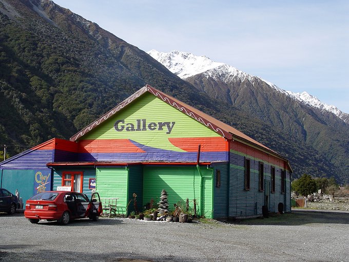
Interesting range of local crafts and art were on display inside the Gallery
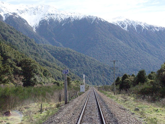
The Trans Alpine
Rail Track at Otira.
We had previously travelled the Trans Alpine Railway from Christchurch to Greymouth a few years ago, but the weather was poor and we were not treated to the scenic beauty the train trip is famous for.
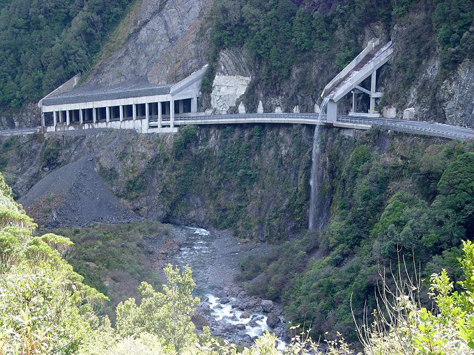
The two lane Otira Gorge Highway.
This cantilevered section of road is relatively new though not evident in the photo is very steep. It replaced the notorious Otira Gorge one way road which was constructed in 1865 to open up the West Coast from Christchurch.
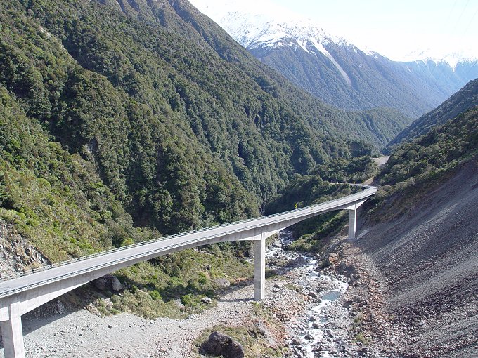
About a 1 Km further on is the magnificent Otira Gorge Bridge
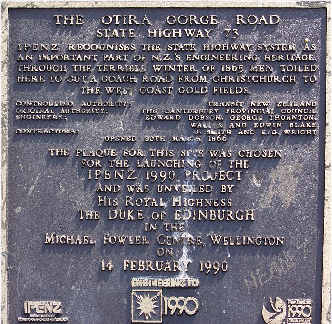
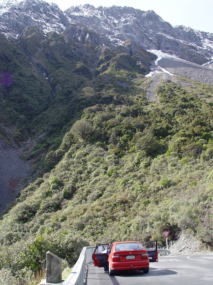
Morning tea overlooking the Otira cantilevered highway
From the vantage points overlooking the Otira Gorge Highways we continued the steep climb up to the pass named after Arthur Dobson. Finally to the top with splended views down both sides of the pass.
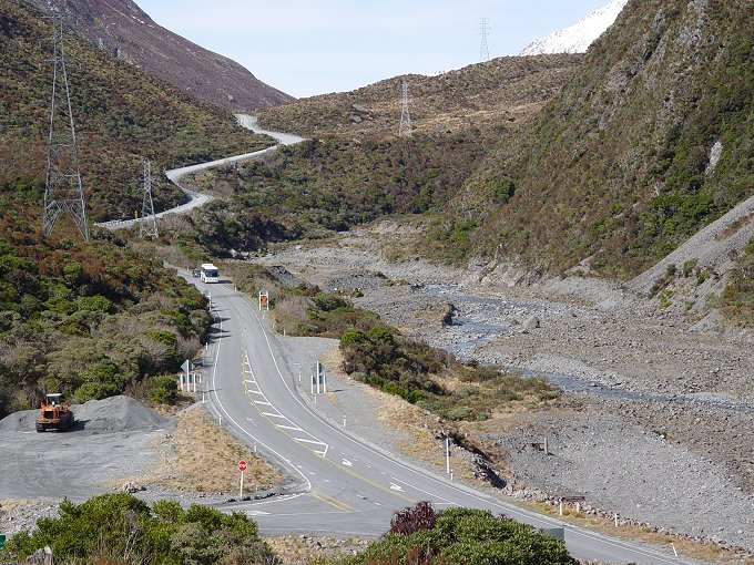
Arthur's Pass
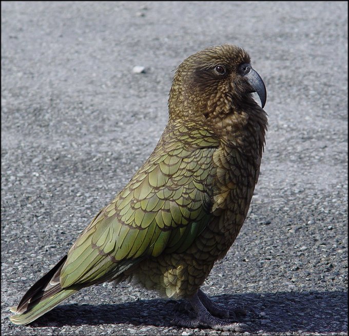
Kea. Very friendly and curious.
But watch out for your car, lunch and backpack!
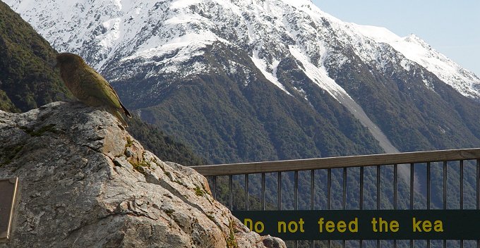
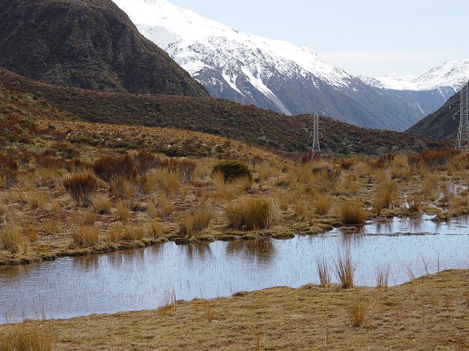
Mountain lakes at the Pass
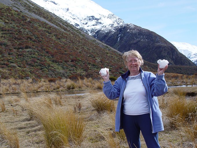
Snow at the top of Arthur's Pass

Near the Porter's Pass ski field turn off and closs to Castle Hill on
State highway 73
Raewyns fine dramatic photo conjuring up images of the Plains
of Rohan
After the exhilaration of the pass we descended rapidly down into the river valleys and soon came to the rock formation Raewyn made famous. So of course I had to photograph it as well, but unfortunately the weather conditions were not very good. The site is situated a short distance from the Porters Skii field road on the Porters Pass side. On to Sheffield where we connected to the Scenic inland route, highway 72 and travelled south through Glenroy, Windwhistle and across the Rakaia river at the gorge, passed close to Mt Somers village, Mayfield, across the Rangatata river to Geraldine. The countryside we passed through near Springfield is close to the location of the high country sheep station that was Lady Barker made famous in her books about life on a high country station.
We were lucky to get accommodation due to a Regional Conference on in town. Had a meal out on the town at the Village Inn. Delicious, but as usual we both ate too much. Geraldine Motel $68. 8/10